Planning Tools
Every safe and successful day on the water starts with a plan. Trip planning is the most important part of our day on the water. Be it, a day trip for you (and or) friends, or a bucket list trip , group trip leader, - it always comes down to a plan. Presented here are some planning tools to make your next trip - be it weeks long or a day trip - a successful one.
A simple, flat water, day trip might just include the selection of suitable water for yourself and your paddle mates and a weather forecast. By contrast, the planning for a trip to coastal waters can be much more complex as tides, wind and, surf must be considered. Multi-day trip planning has its own extended set of variables.
CHARTS


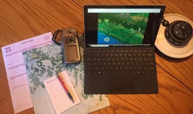
NOAA Booklet Charts Free Downloadable 8.5” X 11” PDF Maps for Paddlers - Booklet Charts
MAPS
Over 1,100 mapped paddling trails on Florida’s Rivers, Creeks, Lakes and the Coast - FPTA Statewide Trails

Mapped Paddling Trails on Florida’s Prominent Rivers and Creeks - DEP/OGT State Designated Trails
ROUTE PLANNERS AND NAVIGATION

Cell Phone Navigation
User Instructions: https://www.floridapaddlingtrails.com/desktop-planning-for-cell-phone-navigation

Combining route, weather, wind, tides, chart data, all in one location: https://www.deepzoom.com
How to use Deep Zoom: Instructional Video

WEATHER, TIDES AND WATER LEVELS







RESERVATIONS

Florida State Parks Reservations - https://www.reserve.floridastateparks.org/Web/

FLOAT PLAN